
 Italiano
The first regional workshop of the Catalyst Project (an FP7 project of European Commission) for the Mediterranean Europe took place in Giovinazzo (Bari) on 27-28 September. IDRAN was present in the workshop where several experts and researchers met to discuss about natural hazards management and climate change. The workshop was organized by Geological Survey of…
Continue Reading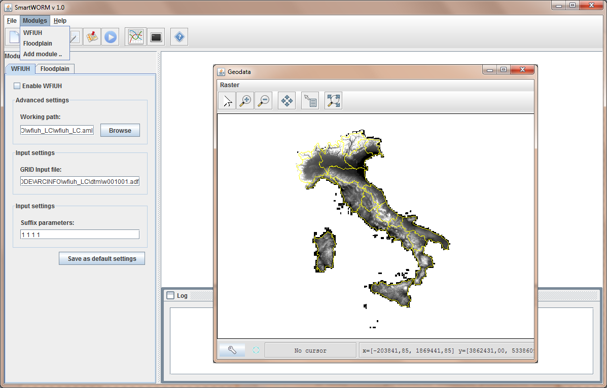
SMART-CUDE: an IT platform for the river-road intersections design on large regions
SMART-Water Optimal Risk Management (SMART-WORM) is an IT platform, built within a custom Geographic Information System (GIS), for the development, application and deployment of optimal mitigation works for water-driven natural disaster risk reduction and management activities under severe climatic and hydrologic conditions with specific regard to smart land/urban planning projects from the global to the local scale.
Continue ReadingOpen Day “GIS and hydraulic modelling for flood risk assessment” – Perugia July 9th 2012
IDRAN promotes, organizes and participate, by means of FLO-2D Europe, to the Open Day “GIS and hydraulic modelling for hydrogeologic risk” a free-access technical-scientific event for: professionals, researchers, flood managers and modellers from public agencies and private firms willing to learn or share their experiences.
Continue Reading