
 Italiano
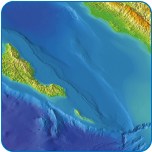 IDRAN performs topographic/bathymetric surveys and geognostic surveys for the knowledge of the morphology and geological-geotechnical characteristics of river and maritime-coastal domains and designs/builds systems for hydraulic/environmental monitoring.
IDRAN tools and technologies represent the state of the art in territorial and environmental surveys for field survey (GPS, laser scanner) and remote sensor (drone, lidar and satellite systems).
The IDRAN team makes use of experts in geology, geomorphology, geomathy for the design of the survey and the processing of data for the development of Digital Land and Surface Models (DTM and DSM) and it carries out continuous updating in the world of applied and professional research related to Earth Observation (Remote sensing & Earth Observations).