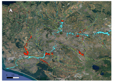
Aggiornamento PAI del Fiume Marta
Modellazione idraulica bidimensionale del fiume Marta e reticolo minore per aggiornamento del Piano di Assetto Idrogeologico (PAI) dell‘Autorità dei Bacini Regionali del Lazio
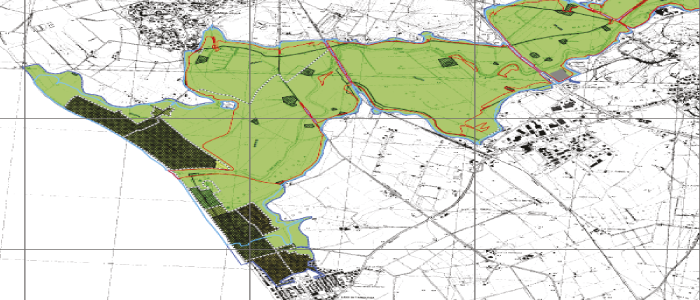
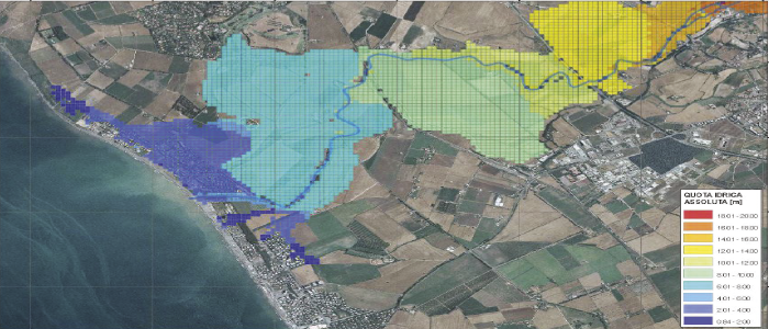
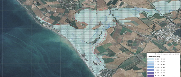
Obiettivo del progetto: Modellazione idrologica ed idraulica del corso d’acqua e mappatura della pericolosità e rischio idraulico mediante software GIS e codice di calcolo bidimensionale FLO-2D per l’aggiornamento PAI e Direttiva Alluvioni.
Galleria
Info
Anno
2013
Partner
Regione Lazio Autorità di Bacino
Settore
Idrologia ed Idraulica
Cartografia Tematica GIS