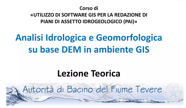
Training course “GIS software for flood risk management plans”
IDRAN experts have just concluded the training course on the use of GIS software for flood risk management plans that was requested by the Autorità di bacino del fiume Tevere. The course, that involved the technicians and managers of the river basin authority for 4...
Short Course: Two-Dimensional Modeling with FLO-2D – ARTA Regione Sicilia
A short course of Two-dimensional Modeling with FLO-2D was held in Palermo from November 27th to the 29th of 2012, at the Land and Environment Department (ARTA) of the Sicilian Region. The course, organized by IDRAN and FLO-2D EUROPE, was directed to technicians of...
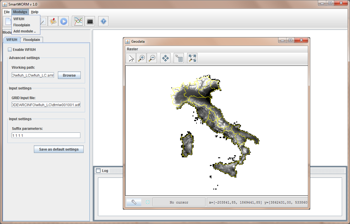
Award for the SMART-WORM software at the InNovaCamp
SMART-WORM the smart ITC platform for the analysis and management of the flood risk at the large scale was selected as one fo the winning ideas of the InNovaCamp competition. The presentation was held within the Greening Generation, Environment and Energy session, on...