Identifying Flood Hotspots with FLOODNODES: The New GIS Tool for Hydraulic Resilience
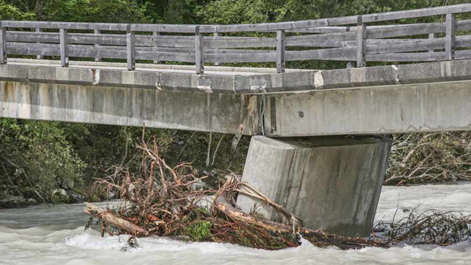
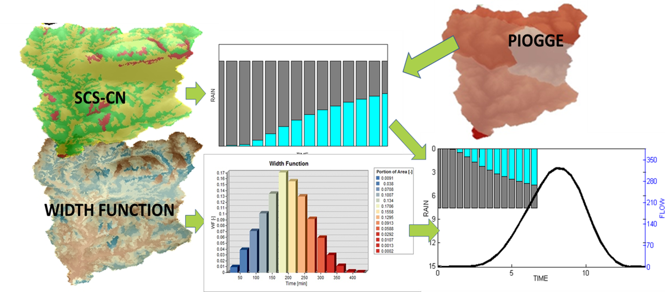
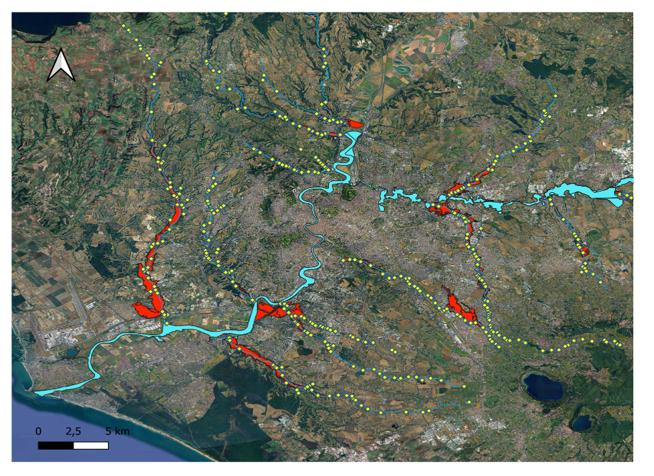
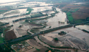
The FLOODNODES project, developed within the RETURN program by Politecnico di Milano with support from UNIPD, introduces an innovative GIS-based tool to identify critical sections along river networks. The system combines large-scale hydrological, hydraulic, and geomorphological models to detect flood hotspots, with a focus on the tributaries of the Tiber River. It also accounts for debris and wood flow impacts, improving the assessment of at-risk infrastructures such as bridges and culverts. Results support the design of effective hydraulic works and resilient land-use planning. This technology is key for safer cities in a changing climate.
Galleria