
Hydrogeologic monitoring system implementation for a coastal deposit in Panama: first phase completed
The first phase of the hydrogeologic monitoring project for a coastal oil terminal in Panama is completed. IDRAN supported the private client in the design and realization of a groundwater data gathering network (piezometers) for the implementation of a physically...
Water Open Day – innovation for Hydrogeologic Risk (Naples, October 9th 2013)
IDRAN participated to the second edition of the Water Open Day. The final event, organized with the support of Associazione Apotema with Università degli Stranieri di Perugia (prof. Fernando Nardi), Università degli Studi della Tuscia di Viterbo (prof. Salvatore...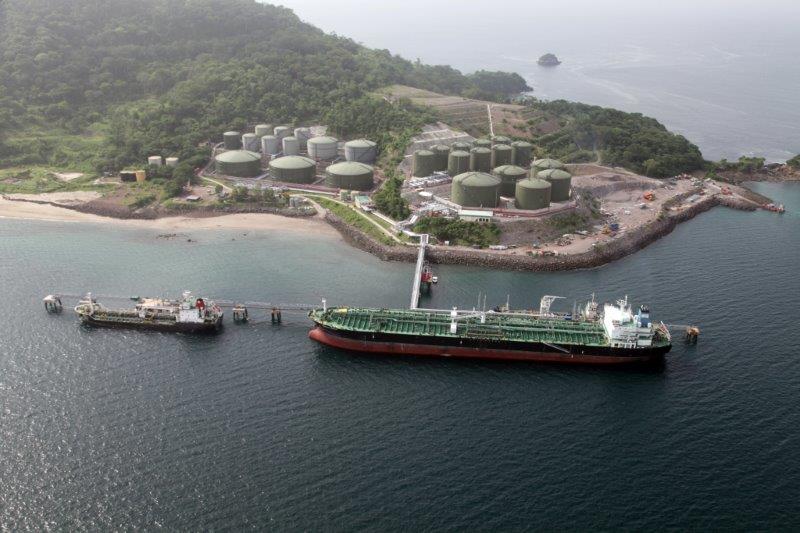
Panama oil terminal engineering and works supervision project: works completion
Panama oil terminal expansion works completed. IDRAN developed, for the private client – a international company headquartered in Italy – the engineering and project management consultancy starting from the preliminary design, to the geologic and...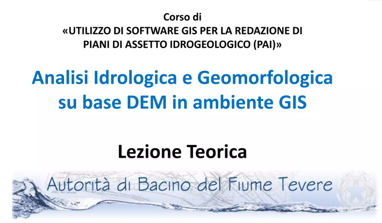
Training course “GIS software for flood risk management plans”
IDRAN experts have just concluded the training course on the use of GIS software for flood risk management plans that was requested by the Autorità di bacino del fiume Tevere. The course, that involved the technicians and managers of the river basin authority for 4...